
Hiking at Villa Rosa
Hiking around Tarvisio and in the Julian Alps
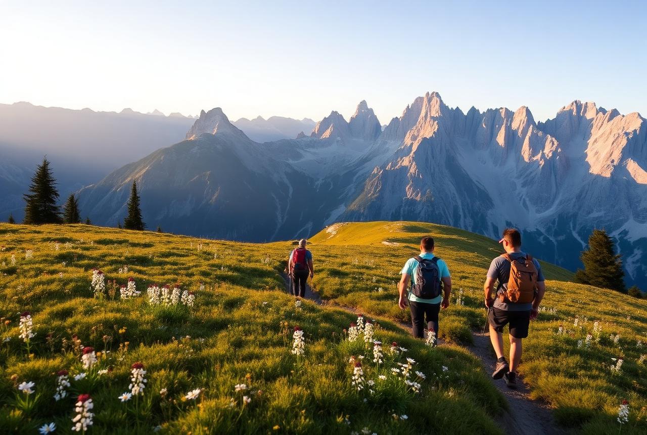
Alpine lakes, panoramic ridges, hidden valleys and unforgettable mountain views just minutes from Villa Rosa.
Explore on foot
Ten trails. Two seasons. One mountain basecamp.
From gentle walks through alpine valleys to demanding summer summits and snow-covered winter trails, Villa Rosa places you at the heart of an extraordinary hiking region.
10 shown
Orrido della Slizza
A short and atmospheric walk through the Slizza Gorge, combining forest paths, wooden walkways, turquoise water and traces of historic railway engineering.
View full routeVal Bartolo
A relaxed hike from Camporosso into the green Val Bartolo valley, passing streams, forest scenery and traditional wooden mountain huts.
View full routeThree-Country Summit Tour
A panoramic cross-border hike around the summit where Italy, Austria and Slovenia meet, with views across the Julian Alps and the wider Alps-Adriatic region.
View full routeMonte Forno Friendship Loop
A long panoramic loop to Monte Forno, also known as the Mountain of Friendship, located near the meeting point of Italy, Austria and Slovenia.
View full routeBelvedere of Monte Svabezza
A demanding panoramic hike above the Fusine Lakes, climbing through spruce and beech forest toward spectacular viewpoints over one of the region's most beautiful alpine landscapes.
View full routeMount Lussari via the Pilgrim's Trail
A historic pilgrimage trail climbing steadily through the ancient Tarvisio forest to the sanctuary and mountain village of Monte Lussari.
View full routeSaisera Wild Track
A gentler winter walk through the snow-covered Val Saisera landscape, suitable for visitors looking for a shorter experience with limited elevation gain.
View full routeWinter Ascent to Mount Lussari
A winter ascent from Camporosso to Monte Lussari along a wide pilgrimage route with a constant gradient and panoramic summit views.
View full routeKapinberg and Monte Nero Winter Loop
A long and remote winter circuit through the Val Bartolo area, crossing Monte Nero before reaching the border summit of Kapinberg.
View full routeSella Alpel and Cinque Punti Winter Loop
A demanding winter circuit toward the Cinque Punti hut and Sella Alpel, surrounded by the distinctive rock formations south of Tarvisio.
View full routeHiking information is provided for inspiration only. Trail accessibility, weather, snow, ice and avalanche conditions can change rapidly. Always check current conditions, official warnings and the complete route details on Outdooractive before setting out. Route details on Outdooractive
Winter hiking in alpine terrain may require specialist equipment, experience and avalanche awareness. Never rely on this map for navigation or real-time safety information.
Map data © OpenStreetMap contributors.
Why Hikers Love Tarvisio
A walking paradise at the edge of three countries.
Hundreds of trails, from gentle lakeside strolls to dramatic alpine ridges — all within reach of your front door.
Hundreds of trails
From gentle lakeside strolls to dramatic ridge walks — the Julian Alps offer a lifetime of routes within reach of your front door.
Three countries, one valley
Italy, Austria and Slovenia converge here. You can hike across borders before lunch and return for a long dinner.
Less crowded, more wild
Skip the tour-bus trails of the famous Alps. Here, the paths feel personal, the refugios quiet, the views yours alone.
The Villa Rosa Difference
Built for hikers, not just tourists.
- Space for hiking equipment
- Full kitchen for early breakfasts
- Sleeps up to 10
- Easy trailhead parking
- Balcony for planning tomorrow's route
- Restaurants nearby